
Grant’s Thursday Night Forecast
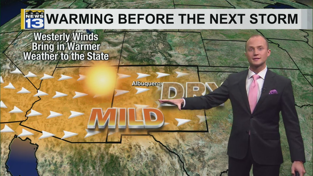
Another cold night is on the way, but a warming trend begins Friday afternoon. Temperatures warm through the weekend before another storm is possible next week.
It was a frigid start to the day Thursday, when locations in the northern mountains dropped well-below zero this morning. Angel Fire was the coldest location anywhere in the United States, dropping all the way down to -31°. Temperatures stayed cold this afternoon with highs about 10-20° below average. It will once again be a very cold night, with patchy freezing fog for a few locations. However, a warming trend will begin Friday and will continue into the weekend. By Sunday and Monday, most will see highs back to where they should be for the end of January.
There is a lot of uncertainty in next week’s forecast. A storm is likely to move into New Mexico again early next week. The track and intensity of this storm is all over the place though. Continue to keep an eye on the forecasts through the weekend as this storm once again has the potential to bring snow to parts of southern and eastern New Mexico. stay tuned
Comments are closed.