
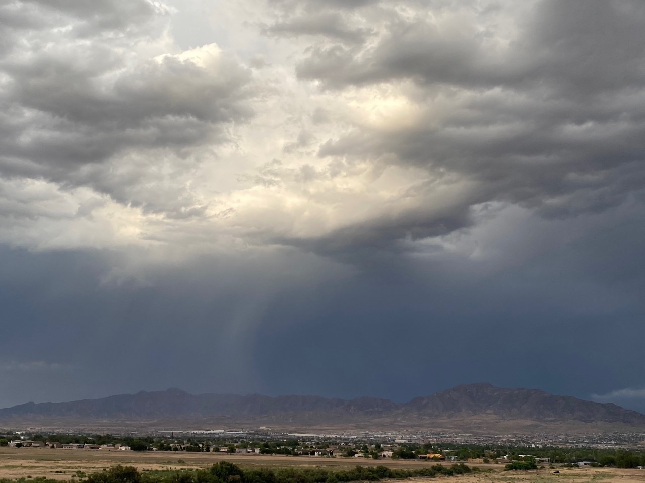
Our high today was 96. It was 100 in Juarez and 99 in Las Cruces. We got lucky that t-showers developed right over the airport at the critical final heating hours, or we would have exceeded 100. Here’s your forecast…
TONIGHT: Weather Authority Alert: Scattered t-showers have produced heavy rainfall, which has flooded some streets. A Flood Advisory is posted for north central El Paso County until 6 PM. Expect the potential for heavy rainfall out of individual storms. Do not drive into flooded highways. The low will be 74, and the SE winds will range from 5-15 mph. Late evening, the storms will taper off to partly cloudy skies.
FORECAST: Monday will be partly cloudy and hot with a high of 100. We have a chance of isolated late day t-showers. Tuesday will be partly cloudy and 102! We’ll have a very slight chance of isolated late-day storms. Wednesday will be partly cloudy with a high of 100. Expect a better chance of late day t-showers Wednesday evening. On Thursday, with a high of 101, expect scattered late day t-showers. Friday will be 98 with isolated late day t-storms. We dry out and heat up for the weekend. Saturday will be mostly sunny and 100. Sunday will be mostly sunny and 101. Monday will become mostly cloudy and humid with a high of 98. Strong t-showers will be likely after midnight on Monday through Tuesday.
Comments are closed.